Sunday, February 27, 2011

Brynderwyn, NZ: By Boat, Train, and Bus

It was a short bike ride to the dock in Picton from our little cove in Queen Charlotte Sound. From here we used a series of alternate modes to get us to the far north of New Zealand.

The viewing deck on the ferry is better than any big-screen TV.

The ferry takes three hours to cross the channel to Wellington. I overheard a conversation between fellow passengers with the words "Christchurch" and "earthquake". It was not until we arrived at the hostel in Wellington that we learned that there had been a major aftershock the previous day while we were waiting out the rain in our little tent, removed from the news of the world. As a result, the availability of rooms was limited, and we did not have advance reservations. So John was assigned to a bunk in one dorm, and I was assigned to a bunk in another.

When I went to stash my belongings in my room, the other three occupants were not there, but open suitcases and clothing were strewn about. My stereotypical judgement was that, hum, these were not your typically tidy women. It was not until later in the evening, when John and I had said our goodnights and parted to our separate sleeping places that I actually met my roommates. I don't know who was more surprised, the guy wrapped in a towel or me, that I had been placed in an all-male dorm.

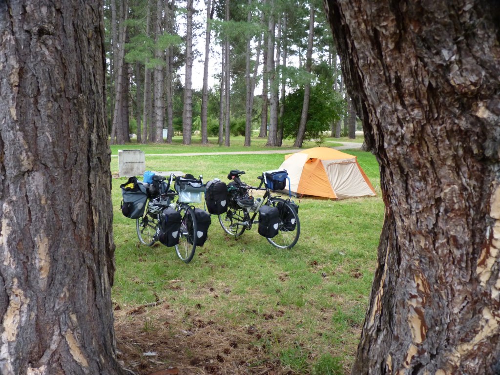
Due to the earthquake and the interruption of traveller's connections, the hostel was packed and the staff was trying to accomodate everyone. They filled all the rooms and even had people sleeping on the floor of the TV lounge. When I went to the front desk to inquire why I had been put in that room, I felt a bit chastised when I was reminded people in Christchurch were sleeping in school gymnasiums becuase their houses were no longer standing. So, being the modest type, I piled my things in a corner, went to bed, and rose before the dawn and slipped out before anyone else in the room woke up.

The earthquake dominated the media and conversation all around us. We sat that first night in the hostel and watched the televison coverage. We recognized many of the buildings that we had seen just 10 days before when we were in Christchurch, now crumbled and destroyed. But what made this aftershock different that the initial quake in September was that there was loss of life. This was just the first day after the event, so there were people still missing and trapped in the rubble. To see the hope and despair of the family members holding vigil brought us both to tears.

We spent one more night in Wellington (this time in the same room), and the next morning left the hostel before dawn to cycle to the train station. We boarded the Overlander train, and for the next 12 hours we rolled through green countryside, crossed over impossible trestles, and wound in circles up grades on our way to Auckland. We decided to skip cycling the south half of the North Island, and instead explore the region to the north of Auckland, known as the Northland (oddly enough), in our remaining month on the island. We spent two more nights in a hostel in Auckland, with a fruitful day searching for bike boxes for our return flight home. After traveling the last three months on the sparsely populated South Island, the bustle of Auckland was a bit overwhelming, and we were anxious to burn off those bowls of laksa and get biking again.

All aboard!
The landscape passes by very quickly in a train, as compared to our snail's pace on a bicycle.

Auckland and the surrounding suburban area occupy an isthmus at the top third of the North Island. It is a choke point, and there is no easy way to get past the urban area. Highway 1 is the main artery out of the city, and all our travel guides and conversations with other cyclists recommended that we not try and bike it. So we took a bus from Auckland city center to a roadside stop at the Swinging Cow Cafe, two hours north. It was a huge bus, like so many that have passed us on the road and sucked us into their wake. Our bikes were able to stand upright in the luggage compartments, still fully loaded with the panniers. The bus stopped just long enough for us to get off and claim our bikes, and off it went leaving only the smell of diesel behind.

A most colorful bus depot.

After four days of noise, relative chaos, and sad earthquake news, we were again standing on the side of the road, feeling like we had been teleported back to the green rolling hills of the Shire. We were safe, we were together, and we were happy.

Happy, happy, happy, to be self-propelled again!

Tuesday, February 22, 2011

Moetapu Bay, NZ: Goodbye, South Island

The Southern Alps are the major geographic feature of the South Island. This mountain range controls everything here -- weather, waterways, roadways, and the movement of people and their vehicles. So steep and impenetrable, there are really only three routes to cross over the range by our chosen means of travel -- Haast Pass, which we did from the West Coast. Arthur's Pass is in the middle and is the highest and most spectacular, renowned because of the train that crosses over from Christchurch to Greymouth. A road also follows this route, and we approached tentatively from the east with the full intent of getting to the pass, but chickened out when the weather turned wet and cold. The northernmost route goes over Lewis Pass, lower and gentler than the other options.

After we left Hanmer Springs we had a day of steep ups and downs that wore us out, so we camped just shy of Lewis Pass. The next morning was clear and bright, and after a couple of kilometers of up to wake us up, we had a the reward of a spectacular downhill. By the time we reached the river valley and turned north, a southerly wind pushed us the rest of the day into Murchison -- a 112 kilometer day. You need only two fingers to count the number of times we hit triple digits on our daily kilometer count on this tour.

A clear morning for our descent of Lewis Pass.

Murchison was like coming home, since we had passed through the town when we were heading to the West Coast. It was still just as warm and dry and quiet as the first time, so we stayed an extra day for quality internet time and ice cream indulgence. After that, we retraced our route along the Buller River to St Arnaud, the base for our Nelson Lakes tramp almost three months previous. Over another minor pass, and we were in new territory on a road that is a straight line to Blenheim.

The Wairau Valley was formed by a major fault that runs as straight as the road and the river alongside it. The valley is long and narrow with mountain peaks on either side. We were so inspired by the exhibit at the Sir Edmund Hillary Alpine Centre at Mt Cook, that John found a secondhand copy of his autobiography. So the night we camped in the heart of this valley alongside the braided Wairau River in the shadow of these mountains, John read how young Edmund, who was stationed with the Air Force in nearby Blenheim, developed a love of mountain climbing with the summiting of his first peak, Mt Tapuae-o-Uenuku. The past and the present were linked as the peak stood like a beacon from the very spot where we slept. Humbled we were, because Edmund would have two days off to tramp, and would ride his bike with a full backpack to the base of the peak, summit, camp, and hike down ride back to Blenheim the next day.

Big sky in Wairau Valley

Blenheim is another agricultural center, with wine grapes being the major crop. The town is populated this time of year with lots of foreign workers, from the Pacific Islands as well as European travelers on work visas earning money by picking fruit. We learned of a local farmer's market, and spent an enjoyable Sunday morning talking with the local farmers and tasting some of the best almonds, plums, blueberries, and olive oil grown in New Zealand. This market was definitely a local's event with kids running around and people just hanging around chatting. We stood out as both travelers and cyclists, which is a great opener to strike up a conversation with segment of the population not involved in the tourist industry. The couple behind Windsong Farms actually lived and taught skiing In Mammoth Lakes for several years -- small world!
Grapes coming to a bottle of Sauvignon Blanc near you soon.

Our last day on the South Island was spent sitting in our tent on a secluded cove in Queen Charlotte Sound. It rained from dawn to dusk. This was a walk-in DOC campground, and required descending a few scores of steps to get to beach level. We had carry our bikes and panniers in separate trips. The day we arrived was beautiful calm and blue skies. Our only company were local residents walking by for a late afternoon swim. But rain came in overnight, and since this was a rustic camp with no lounge to retreat to, we had no choice but to sit inside and read and do crossword puzzles. It was fun, and we didn't really want to leave the South Island anyway. So many of our rest days were spent waiting out the rain, that it seemed appropriate that the skies would weep on our last day, too.

Queen Charlotte Sound -- spectacular on a clear day.
Our secluded cove on Moetapu Bay the day we arrived.
It was a full moon, so the tide was very low when we arrived.  High tide in the middle of the night flooded the grass just a few feet from our tent.
What a difference 12 hours make -- rain trapped us in our tent all day.  Cooking is a challenge in the tent vestibule.

Monday, February 14, 2011

Hanmer Springs, NZ: Canterbury Tales

For two weeks we crossed the broad apron of land that lies east of the Southern Alps and extends to the South Pacific Ocean. It is generally flat farmland for miles and miles (or kilometers and kilometers). It makes for easy cycling if the wind is in your favor, and it makes for lackluster pictures when the days are overcast. But it is not without its surprises.

So our map had labeled a place labeled Rakaia Gorge. As we got closer, the wind began to blow harder in our face, and we climbed a long grade. Cresting over, to our amazement, we looked up a deep canyon carved by wide braided river. Northwesterly winds were channeled down the canyon, and were strong enough to kick up dust on barren soil. Fortunately, the road turned so the gale-force gusts were at our backs and we were pushed like by an invisible hand. Pushed through the aptly named town of Windwhistle, and back down to the flat plains.

Dropping into Rakaia Gorge.

So as we took the inland route across the plains, along the base of the mountains, there were more than one crossing of these great braided rivers.  And when we visited the museum in Christchurch, we learned that rivers of this type, that have massive flows down steep gradients, are unique features.  Alaska and Canada and the Himalayas have them, and those in New Zealand are spectacular examples.

We did a detour to the city of Christchurch.  For what reason, we are not sure, other than it is the largest city on the South Island, and we thought we should go.  After weeks of quiet rural roads, the traffic and the density of people were a bit overwhelming.  We spent one day visiting the botanical gardens and museum, surveying earthquake damage, and managing to go into a sugar coma from eating too much homemade German kuchen from the farmer's market.

Most buildings with obvious damage were old brick and stone structures, like this church.

In search of a secondhand bookstore, we were dismayed to see it was no longer there.  The whole block of brick buildings were condemned. 

Hagley Park is a treasure in the center of the city.
One of our best camps so far on the trip was at Balmoral Reserve, a rustic designated camping ground with trees, grass and toilets.  It was peaceful, for only $5 a night.  I left the bag with our breakfast food, including a couple of particularly aromatic bananas, in the vestibule of our tent when we went to sleep.  Somewhere in the deep darkness of night I heard some loud rustling, and I knew something was after our food.  Instinctively I unzipped the door and grabbed the bag, assuming my reaction would scare away the beast.  Once I had the bag inside, I touched something prickly next to it.  I thought it might be a pine cone, so I tried to pick it up.  It was way heavier than a pine cone should be.  And I realized it was a hedgehog, like so many we have seen flattened on the side of the road.  In my half-asleep state, I freaked, and shook John, and told him something alive was in here.  He shined his light, and there was the thing all curled up.  I wouldn't touch it, so my hero picked it up using his shoes as forceps and tossed it outside.  He made me give it a good kick to get it further away from the tent.  Our friend was not there the next morning, so I assume he was not scared to death, like I nearly was.

A hedgehog's view of our camping spot.
We left the Canterbury Plains via Hanmer Springs, a tourist mecca known for its thermal pools.  We didn't want to pay the $18 entrance fee, so we enjoyed a hot shower at the campground instead.  Equally as luxurious for us. 

Morning light on the way to Hanmer Srings as we leave the Canterbury Plains.  It is for days like this that we travel by bike.

Our last braided river, the Wakai River near Hanmer Springs.

This picture of an alpaca with a California surfer dude look has nothing to do with anything else in this post.  Sheep, we have learned, are not the only wool-bearing livestock in New Zealand.

Thursday, February 10, 2011

Rangiora, NZ: A Love Story

I am afraid my husband's heart belongs to another.  It is not surprising -- she can be really smooth, with a natural style and impeccable taste.  Apparently this passion has been going on for years, long before we were married, when John was just a young pup in his twenties.  They have been meeting at lunch nearly every day since then, an afternoon delight one could say.

When they first met, she only hung out in one place.  But now she can be found at stores we go to all the time.  When we came here to New Zealand, he took up with cheaper substitutes from Australia and China.  But they lacked the purity and quality of his first love from home.

That is until we discovered Bin Inn, and the spin-off SimpliFood.  She could be found there.  So began his obsession, to find the list of stores in this small country, get his fill at each one to hold him over until the next encounter.  No longer was our traveling driven by finding natural wonders.  No, he was always trying to get to her. 

This jealousy is enough to drive me nuts.  The only explanation I have is like my mother always said, that a way to man's heart is through his stomach.


The last liason was here, in Rangiora.

She has a corner in this store, between buckets and canisters full of bulk foods.


She tries to disguise herself by getting near others with different perfumes.

Sure, Bin Inn has other temptations not found so easily in the USA.

Caught in the act!

Tuesday, February 1, 2011

Aoraki Mount Cook, NZ: Stunned

We are stunned by the kindness of strangers.

Lee and Frank met us for five minutes in Nelson two months ago and invited us to their home when we reached Twizel. So we contacted them, and they offered us so much. Wine and food, a little house all to ourselves, and a vehicle for us use to drive to Mt Cook National Park.
 
We are stunned by the scale of the landscape.

Frank drove us around to see his land and subdivisions, 5000 acres in all, and to see where the Plains of Rohan scene was filmed, and to see the canals and power generators of the Waitaki Valley Hydroelectric Scheme.

We are stunned by the majesty of Mt Cook.

The weather forecast was for a rare clear day, and only one of them.  So instead of using that day to cycle to the village of Aoraki Mt Cook, we took the borrowed truck, loaded with camping gear, for an overnighter at the base of this great mountain.  It is the highest peak in New Zealand.  It is visible from the West Coast, although it was shrouded in clouds when we looked for it from that side of the island.  But on this day, we were so close we were speechless.

Thank you, Lee and Frank, for making this memory.

John mastered left-hand shifting to get us to the shore of Lake Pukaki for the morning view of Mt Cook.

The glacial outwash plain downstream of Mt Cook feeds Lake Pukaki.

Mt Cook, 3,754 meters (12,316 feet)

We sat for a couple of hours sitting and staring at these glaciers from Kea Point. 

Wind clouds, like the Sierra Wave that forms in the lee of the crest of the Sierra Nevada at home.

We spent the afternoon hiking up Hooker Valley.  There were two swingbridges crossing the glacial stream.

The Hooker Glacier terminates into Hooker Lake at the end of the trail.  Strong winds of an approaching storm kicks up dust on the left side slopes.


It had been raining for several hours when we left the village, but we drove out of it 20 kilometers down the road.  Looking back, we could see it was still raining at the crest.

Translate

Categories

Copyright

All original text and photos are copyrighted Doris Reilly © 2006-2023. No part of the content or the blog may be reproduced without prior written permission.
Powered by Blogger.

Contact Form

Name

Email *

Message *